Typhoon Jangmi Live Tracker Map on Windy: Typhoon No 6 Races Toward Tokyo and Kanto Coast, Check Real-Time Status Here
The JMA reported Typhoon Jangmi (Typhoon No 6) was 40 km from Nichinan on Tuesday, June 2, moving northeast at 40 kph with 90 kph winds. The storm is forecast to pass Wakayama on Wednesday morning, June 3, brush past Tokyo and the Kanto coast by evening, and weaken into an extratropical cyclone by Thursday, June 4.

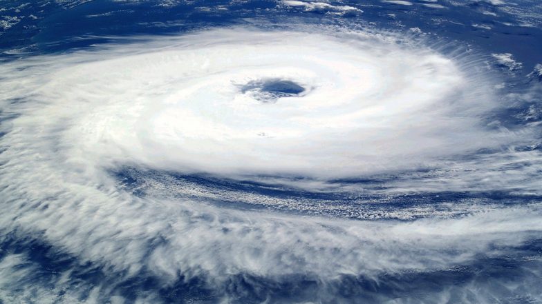
The Japan Meteorological Agency (JMA) announced that Typhoon Jangmi was located approximately 40 kilometres south-southeast of Nichinan, Miyazaki Prefecture, as of 6 PM on Tuesday, June 2. Tracked officially as Typhoon No. 6, the system is moving northeast at a speed of 40 kilometres per hour across the Pacific coast. The early-season weather system has triggered regional evacuation orders and extensive transport disruptions as it advances toward the heavily populated Kanto region.
Projected Track Placement of Typhoon Jangmi
Meteorological tracking models indicate that the severe weather system will continue its rapid northeastward trajectory through midweek. The JMA projects that Typhoon Jangmi will be positioned roughly 30 kilometres from Cape Shio in Wakayama Prefecture by 6 AM on Wednesday, June 3. Indian Woman Tourist Allegedly Caught Shoplifting in Japan, Tries To Settle Matter With Money.
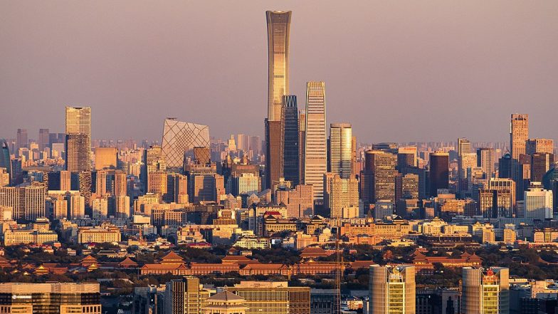
Tokyo Live Weather Forecast and Updates
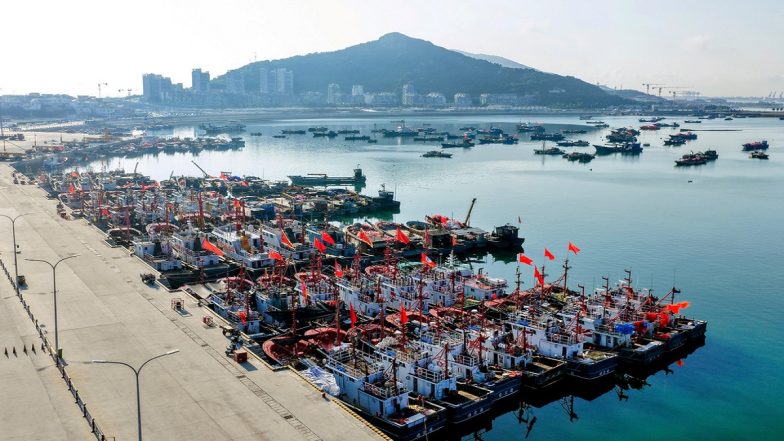
Choshi Live Weather Forecast and Updates
Following its passage near the Kinki and Tokai regions, the storm is forecast to skim the southern coastline of the Kanto region, bringing direct severe weather conditions to the Tokyo metropolitan area. By 6 PM on Wednesday, June 3, the centre of the system is expected to be located about 110 kilometres from Choshi, Chiba Prefecture, before tracking further out into the Pacific Ocean.
System Wind Speeds and Atmospheric Pressure
The physical structure of the typhoon remains compact but potent. Data captured at 6 PM on Tuesday showed that the storm's central atmospheric pressure registered at 980 hectopascals. Instrument readings confirmed maximum sustained wind speeds reaching 90 kilometres per hour near the core of the system. Additionally, the meteorological agency recorded peak instantaneous wind gusts peaking at 126 kilometres per hour, presenting an ongoing hazard to temporary structures, high-sided vehicles, and regional power infrastructure. Why Japan Has Banned Import of Mangoes From India.
Downgrade Timeline and Regional Background
The JMA expects the Typhoon Jangmi system to lose its tropical characteristics shortly after clearing the eastern edge of the Japanese mainland. Current forecast models indicate that the typhoon will weaken and transition into an extratropical cyclone over cooler northern waters by Thursday afternoon, June 4.
The early June arrival of Typhoon Jangmi has altered typical seasonal expectations, as the standard peak window for severe typhoons in mainland Japan normally runs from August through September. In anticipation of the heavy precipitation and high winds tracking toward major transport corridors, authorities have already initiated substantial preventative domestic flight cancellations and issued level 4 flood danger alerts for multiple river systems across Miyazaki Prefecture.
(The above story first appeared on LatestLY on Jun 02, 2026 11:20 PM IST. For more news and updates on politics, world, sports, entertainment and lifestyle, log on to our website latestly.com).