
India News | NGT Directs Delhi Environment Secretary to Resolve Yamuna Floodplain Demarcation Deadlock Within Week
Get latest articles and stories on India at LatestLY. The National Green Tribunal (NGT) has directed the Principal Secretary (Environment), Government of NCT of Delhi, to convene a joint meeting of officials from the Delhi Development Authority (DDA) and the Irrigation and Flood Control (I&FC) Department within one week to resolve the stalemate over the physical demarcation of the Yamuna floodplain in Delh

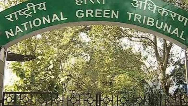
New Delhi [India], July 20 (ANI): The National Green Tribunal (NGT) has directed the Principal Secretary (Environment), Government of NCT of Delhi, to convene a joint meeting of officials from the Delhi Development Authority (DDA) and the Irrigation and Flood Control (I&FC) Department within one week to resolve the stalemate over the physical demarcation of the Yamuna floodplain in Delhi.
A bench comprising NGT Chairperson Justice Prakash Shrivastava and Expert Member Dr Afroz Ahmad passed the direction while hearing two matters initiated based on newspaper reports concerning flooding in Delhi and the pending demarcation of the Yamuna floodplains.
The Tribunal also directed the DDA to file a further progress report at least one week before the next hearing.
It asked the I&FC Department to file an affidavit explaining the issue within the same timeline. The matter has been listed for hearing on September 18, 2026.
Also Read | What Can Delay Your EPF Auto Transfer After Changing Jobs?.
During the hearing, the DDA informed the Tribunal that it had filed a progress report stating that it received a revised floodplain map from the I&FC Department through an email dated June 6, 2026.
According to the DDA, Geo Spatial Delhi Limited had earlier prepared a GIS-based draft map using one-metre contour data provided by the Survey of India and the 1:100-year flood map for demarcating the 22-km Yamuna stretch between Wazirabad Barrage and Okhla Barrage.
The DDA said it had already started implementing the Tribunal's earlier directions based on the original map and had begun installing boundary bollards.
Out of the proposed 277 bollards, 206 had already been installed before the revised map was received. It submitted that work was subsequently halted, as acting on the revised map could require the already-installed bollards to be shifted and reinstalled.
The Tribunal observed that the floodplain demarcation is required to be carried out under the River Ganga (Rejuvenation, Protection and Management) Authorities Order, 2016, which prescribes fixed parameters, including the one-metre contour and the 1:100-year flood level.
It noted that if the demarcation exercise had already commenced based on these parameters, the I&FC Department must explain why it issued a revised map midway through the process.
Noting that the entire demarcation exercise has come to a standstill because of the revised communication, the Tribunal directed the Environment Secretary to facilitate coordination between the DDA and the I&FC Department and resolve the issue so that the work can proceed. (ANI)
(The above story is verified and authored by ANI staff, ANI is South Asia's leading multimedia news agency with over 100 bureaus in India, South Asia and across the globe. ANI brings the latest news on Politics and Current Affairs in India & around the World, Sports, Health, Fitness, Entertainment, & News. The views appearing in the above post do not reflect the opinions of LatestLY)