India Backs UN General Assembly Resolution Endorsing New World Map Projection
India has voted alongside 163 other nations at the United Nations General Assembly to endorse a landmark resolution aimed at revising how global geography is represented visually.

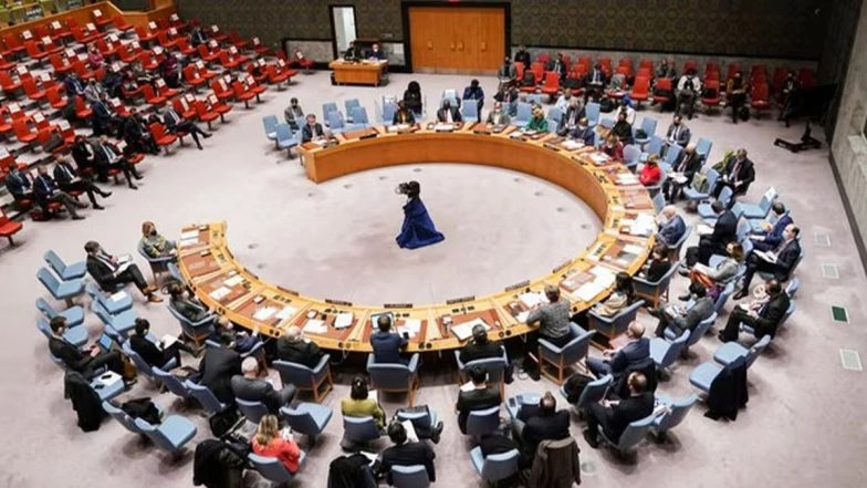
India has voted alongside 163 other nations at the United Nations General Assembly to endorse a landmark resolution aimed at revising how global geography is represented visually. The resolution calls for phasing out reliance on centuries-old cartographic standards in favor of maps that accurately display the true relative sizes of continental landmasses. The resolution passed by a margin of 164 to 1, with the United States as the sole opposing vote and six nations abstaining.
Addressing Centuries of Cartographic Distortion
The resolution targets the long-standing dominance of the Mercator map projection, created in 1569 by Flemish cartographer Gerardus Mercator. While the Mercator system preserves direction and shape—making it ideal for maritime navigation—it creates severe area distortions as landmasses move further from the equator toward the poles. New World Map: UN Adopts Resolution Promoting Equal-Area Projections Over Mercator.
Under the traditional projection, northern hemisphere regions appear disproportionately larger, while equatorial regions are visually compressed. For example, the Mercator map renders Greenland and the continent of Africa as roughly equal in size, despite Africa being approximately 14 times larger.
Global Push Led by African Nations
The initiative was spearheaded by Togo on behalf of the African Union to address what supporters describe as enduring cognitive and educational imbalances in geographical perception. The resolution encourages educational institutions, media organizations, and technology platforms to adopt "equal-area" map frameworks—such as the Equal Earth projection developed in 2018—which portray land areas proportional to their actual size.
Sponsors emphasized that the update is designed for general reference, education, and media representation, and does not restrict or replace specialized navigation systems that rely on Mercator calculations.
India's Stance and Clarification
In its statement explaining the vote, India welcomed the initiative to promote accurate geographical scale and educational clarity. Indian representatives noted that maps significantly shape how societies understand global proportions and geography. However, India clarified its stance by stating that its vote supports the broader principle and use of Equal Area map projections generally, rather than endorsing any single specific commercial or proprietary map framework exclusively.
Non-Binding Framework for Future Adoption
As a United Nations General Assembly resolution, the measure is non-binding and carries no direct legal mandates for member states. Nevertheless, it provides a unified global recommendation intended to guide updates to school curriculums, textbook publishers, digital mapping services, and international agencies moving forward.
(The above story first appeared on LatestLY on Sep 05, 2026 11:28 AM IST. For more news and updates on politics, world, sports, entertainment and lifestyle, log on to our website latestly.com).