
Business News | Esri India Launches Indigenous Linux-based GIS Software GeoSARAL
Get latest articles and stories on Business at LatestLY. Esri India on Thursday launched GeoSARAL, an indigenous Linux-based desktop Geographic Information System (GIS) software aimed at users requiring lightweight tools for mapping, visualization, querying and editing, as the company looks to address the growing adoption of geospatial technologies across India.

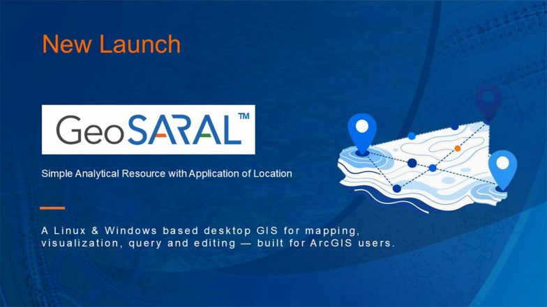
New Delhi [India], September 3 (ANI): The software has been developed as part of Esri India’s continued focus on localisation and investments in technology, talent and innovation. GeoSARAL was conceptualised in response to demand from the company’s large ArcGIS user base across enterprise and government sectors for a cost-effective, Linux-based desktop GIS solution.
While professional GIS users rely on ArcGIS Pro for advanced analysis, 3D capabilities, network analysis and complex cartography, GeoSARAL is targeted at users with more basic GIS requirements. The software is supported on both Linux and Windows, while Android support is expected to be added soon.
Also Read | China Man Turns Back Scratching Into Big Business, Makes INR 14 Lakh Monthly From 'Itch Relief' Service.
Agendra Kumar, Managing Director, Esri India, said the launch marked a significant milestone in the company’s technology journey, with initial users appreciating the availability of a cost-effective Linux-based desktop GIS solution.
“GeoSARAL is the product for them,” Kumar said, referring to users who need GIS for simpler tasks such as mapping, visualization, editing and querying. He added that the software works effectively within ArcGIS environments while allowing users requiring more advanced capabilities to continue using ArcGIS Pro.
Also Read | Is India vs Hong Kong China Free Live Telecast of Women’s Asia Cup 2026 Match Available on DD Sports?.
GeoSARAL can co-exist with existing ArcGIS infrastructure and leverage content available through Indo ArcGIS Living Atlas. It allows users to view, manage and analyse GIS data and basemaps stored locally even without an internet connection, while also offering enterprise-grade security and integration with existing ArcGIS ecosystems.
The launch comes as geospatial technologies gain importance across sectors including governance, infrastructure, agriculture, defence, utilities, urban development, natural resource management and disaster management.
Esri India said local development of geospatial technology would be important in addressing India-specific requirements while strengthening domestic technology capabilities. The company positioned GeoSARAL as part of the broader push towards greater technological self-reliance in the country.
Established in 1996, Esri India said it provides GIS technology to more than 6,500 organisations across government, the private sector, academia and non-profit segments. The company is headquartered in Noida and offers Indo ArcGIS, including GIS technology, solutions and data offerings tailored to government organisations. (ANI)
(The above story is verified and authored by ANI staff, ANI is South Asia's leading multimedia news agency with over 100 bureaus in India, South Asia and across the globe. ANI brings the latest news on Politics and Current Affairs in India & around the World, Sports, Health, Fitness, Entertainment, & News. The views appearing in the above post do not reflect the opinions of LatestLY)