Central India Monsoon: Rainfall Activity To Intensify Till August 15 Despite Below-Normal Seasonal Forecast
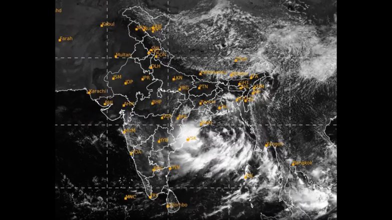
Central India is set to see a substantial surge in monsoon activity through the coming week, despite projections of a broader seasonal rainfall deficit. Widespread rain is building over Madhya Pradesh, Chhattisgarh and Maharashtra between August 8 and 15, according to forecasts from the European Centre for Medium-Range Weather Forecasts (ECMWF).

Central India is set to see a substantial surge in monsoon activity through the coming week, despite projections of a broader seasonal rainfall deficit. Widespread rain is building over Madhya Pradesh, Chhattisgarh and Maharashtra between August 8 and 15, according to forecasts from the European Centre for Medium-Range Weather Forecasts (ECMWF).
IMD Projects Below-Normal Season Overall
The active wet spell comes as the India Meteorological Department (IMD) projects the overall monsoon season will close below normal. The IMD projects the seasonal rainfall at roughly 90% of the long-period average.
The emergence of El Nino conditions in the Pacific Ocean is influencing this broader dry outlook. However, brief weather systems can still trigger intense rainfall over localised regions. Weather Forecast: IMD Predicts Heavy Monsoon Rains Across North and Central India.
What Meteorologists Are Forecasting
Current ensemble and deterministic forecasts from the ECMWF indicate that the monsoon trough and related low-pressure systems are pushing heavy moisture into Central India over the coming days.
Forecasters expect the core monsoon zone to receive widespread moderate to heavy precipitation through the rest of the week, while northern and northeastern parts of the country could see more scattered but significant rainfall. Delhi-NCR Rains: Heavy Showers Cause Waterlogging and Traffic Jams Amid IMD's Red Alert (Videos) .
Certain pockets could record accumulated rainfall exceeding 100-200 mm. Isolated areas in the Northeast might register even higher totals.
The active phase is already underway across several states. Recent IMD bulletins state that heavy to very heavy rain is actively occurring across East Rajasthan, Odisha, Madhya Pradesh, Chhattisgarh and neighbouring areas, with the spell expected to continue through August 15.
Meteorologists track these medium-range projections alongside the short-range and extended-range forecasts from the IMD to monitor the shifting weather patterns.
Why Active Spells Matter
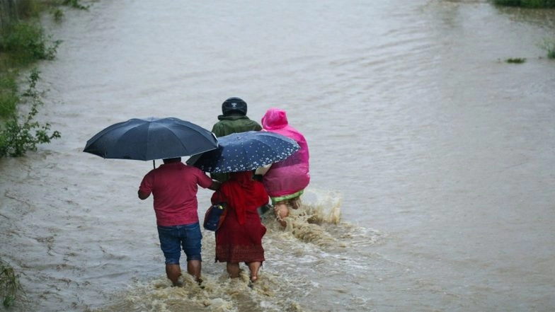
Individual bursts of heavy rain carry severe localised impacts, even when the overall seasonal total remains below average. Intense rainfall over brief periods often leads to immediate waterlogging, sudden flooding and severe disruption in vulnerable zones.
Climate scientists warn that a warmer global atmosphere holds more moisture. This warming trend causes individual rain events to become highly intense. A below-normal monsoon does not guarantee uniformly dry weather across regions.
Meteorologists emphasise the need to rely on the daily and extended-range forecasts issued by the IMD. Weather models continuously shift as fresh observations enter the system. The IMD data remains the primary guide for tracking these volatile conditions over the coming week.
(The above story first appeared on LatestLY on Aug 09, 2026 02:59 PM IST. For more news and updates on politics, world, sports, entertainment and lifestyle, log on to our website latestly.com).