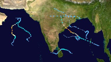
New Delhi, October 12: Cyclone Jawad is set to brew in the Bay of Bengal as the India Meteorological Department (IMD) said that a low-pressure area is likely to form over the East-central Bay of Bengal and adjoining north Andaman sea around October 13. According to a weather forecast by the IMD, the system is likely to move west-northwestwards and reach south Odisha-north Andhra Pradesh coasts as a Well Marked Low-Pressure area around October 15. Once the system is formed, it will be named 'Cyclone Jawad', a name given by Saudi Arabia.
Under its influence, light to moderate rainfall is expected at most places with isolated thunderstorms (wind speed 40-50 kmph gusting to 60 kmph) and heavy to very heavy falls very likely over Andaman and Nicobar Islands during the next four days. Giving details about the monsoon status in the country, the IMD forecast said that the withdrawal line of southwest monsoon continues to pass through Siliguri, Malda, Shantiniketan, Midnapore, Baripada, Kanker, Bhawanipatna, Chindwada, Indore, Gandhinagar, Rajkot and Porbandar. Cyclone Jawad May Move Towards Odisha-Andhra Pradesh Coasts.
The IMD added that conditions are becoming favourable for further withdrawal of southwest monsoon from most parts of Madhya Pradesh, Chhattisgarh, West Bengal; some more parts of Gujarat, Maharashtra, Odisha and some parts of northeast India during the next 24 hours. Moreover, a cyclonic circulation lies over East-central Arabian Sea which is very likely to persist during the next 2 days. Under its influence, isolated to scattered rainfall with thunderstorm and lightning very likely over Madhya Maharashtra and Konkan & Goa during next 2 days.
(The above story first appeared on LatestLY on Oct 12, 2021 08:41 AM IST. For more news and updates on politics, world, sports, entertainment and lifestyle, log on to our website latestly.com).


 Quickly


