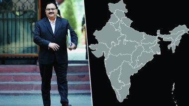
New Delhi, April 11: In an embarrassing situation, Jammu and Kashmir was excluded from the Indian map at an event organised by the Health Ministry on Wednesday. As per reports by IANS, the map that was displayed at the event showed Jammu and Kashmir as distinct from other parts of India and Aksai Chin as part of China. The report further informs that the erroneous map was circulated by an organisation supported by the World Health Organization (WHO).
According to a report by IANS, the world map titled "Risk of humanitarian crises and disasters" had a boundary line between Jammu and Kashmir and other parts of the country. The eastern part of Jammu and Kashmir is shown as part of China.
It must be noted that Aksai Chin is a disputed border area between China and India. It is administered by China as part of Hotan County but is also claimed by India as a part of the Ladakh region of Jammu and Kashmir.
Union Health Minister J.P. Nadda had inaugurated the panel discussion and two Ministers of State (MoS) in Prime Minister Narendra Modi's cabinet -- Ashwini Kumar Choubey and Anupriya Patel -- were also present. Reports inform that the wrong map was distributed at a panel discussion jointly organised by the Health Ministry and Partnership for Maternal, Newborn and Child Health (PMNCH), which is a multi-constituency partnership "supported by a small secretariat hosted at the WHO".
(The above story first appeared on LatestLY on Apr 12, 2018 04:27 PM IST. For more news and updates on politics, world, sports, entertainment and lifestyle, log on to our website latestly.com).


 Quickly


