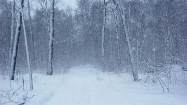
New Delhi, February 22: A powerful winter storm is sweeping across New York State, triggering widespread Winter Storm Warnings and Blizzard Warnings as meteorologists predict heavy snowfall, strong winds and a sharp temperature drop over the next 24 hours.
According to the National Weather Service, the storm will intensify through the day, bringing dangerous travel conditions, near zero visibility and the risk of flash freezing on roadways.
Snowfall Forecast and Timing
Snowfall is expected to ramp up by midday, with accumulation rates of 1 to 2 inches per hour in the hardest hit regions. The heaviest snow will continue into late evening before gradually tapering off by Monday morning. US Winter Storm Death Toll: 30 People Dead Due to Severe Winter Storms As More Freezing Cold Pummels America.
Wind gusts could exceed 45 mph in coastal and northern counties, meeting blizzard criteria in some areas and significantly reducing visibility.
New York Live Weather Forecast and Update
Regions Facing the Strongest Impact
Northern and Central New York
Under the highest alert, these areas could see between 12 and 18 inches of snow, along with dangerously low wind chills.
Hudson Valley and Capital Region
Forecasts indicate 8 to 12 inches of snowfall. High winds may lead to scattered power outages and tree damage.
New York City and Long Island
A rain and sleet mix is expected to transition into heavy snow by evening. Accumulations of 4 to 6 inches are likely, but a rapid temperature plunge could trigger flash freeze conditions, making roads extremely slippery.
Rapid Temperature Drop and Safety Concerns
Once the snowfall moves out, an Arctic air mass will settle over the region. Temperatures are forecast to fall by 20 to 30 degrees within hours, with wind chills dropping well below zero in northern districts. Air India Cancels New York, Newark Flights Amid Severe US Winter Storm; Delhi–Bengaluru Flight AI 506 Service Delayed After Technical Snag.
State officials have urged residents to avoid non essential travel during peak storm hours. Public transportation systems, including services operated by the Metropolitan Transportation Authority, may experience delays or schedule modifications.
What Is Driving the Storm?
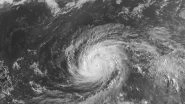
Meteorologists attribute the storm’s intensity to a process known as bombogenesis, where atmospheric pressure drops rapidly, strengthening the system in a short period of time. The sudden shift follows a relatively mild start to February, increasing the strain on infrastructure and catching many residents off guard.
Authorities advise residents to monitor local updates, prepare emergency supplies and check on vulnerable neighbours as the storm progresses.
(The above story first appeared on LatestLY on Feb 22, 2026 07:32 PM IST. For more news and updates on politics, world, sports, entertainment and lifestyle, log on to our website latestly.com).


 Quickly


