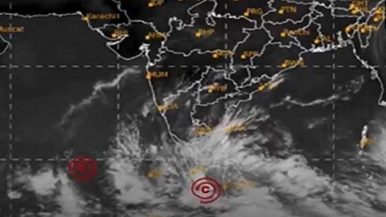
Today, November 24, the India Meteorological Department (IMD) said that a low-pressure system near Malaysia and the Strait of Malacca is likely to intensify into a depression over the South Andaman Sea within 24 hours. The weather agency further said that the deep depression in the Andaman Sea is likely to intensify into a cyclonic storm over the south Bay of Bengal within the next 48 hours. The cyclonic storm is likely to be called "Cyclone Senyar" once it is formed. Senyar, which means lion, was suggested by the United Arab Emirates, one of the 13 member countries that contribute to naming cyclones in the North Indian Ocean region. That said, IMD did not reveal details regarding the expected landfall point of the upcoming cyclonic storm "Senyar". Cyclone Senyar: IMD Issues Rainfall Alert As Cyclonic Storm 'Senyar' Likely To Form Over South Bay of Bengal in Next 48 Hours; Check Path and Landfall Details Here.
Low-Pressure System Likely To Intensify Into Depression Over South Andaman Sea Within 24 Hours
⚠️ IMD Weather Warning – Stay Alert!
A low-pressure system near Malaysia & the Strait of Malacca is likely to intensify into a depression over the South Andaman Sea within 24 hours. Expect heavy rain, strong winds & rough seas in the region.
Avoid sea travel, secure… pic.twitter.com/IFQ1Lqm6to
— India Meteorological Department (@Indiametdept) November 24, 2025
Cyclone Senyar Live Tracker Map on Windy
(SocialLY brings you all the latest breaking news, fact checks and information from social media world, including Twitter (X), Instagram and Youtube. The above post contains publicly available embedded media, directly from the user's social media account and the views appearing in the social media post do not reflect the opinions of LatestLY.)


 Quickly


